Pages

Tuesday, July 5, 2011

7/5/11 - Men at Work

As for my own business, even that kind of surveying which I could do with most satisfaction my employers do not want. They would prefer that I should do my work coarsely and not too well, ay, not well enough. When I observe that there are different ways of surveying, my employer commonly asks which will give him the most land, not which is most correct.
Thoreau - Life Without Principle 1863

It was a "Floating Holiday" at my place of work today, and I figured, this should be a regular work-day on the summit!  I should go up and see what’s going on since most of my trips are relegated to weekends.  


And sure enough, a work-day it was!  I could hear a rat-a-tat-a-tat going before I even got to Up Summit Road – a huge jack hammer as it turned out to be.  That was in the lower parking lot which is pretty well leveled now.  Progress is really obvious there.  The old lower parking lot has been ripped up, expanded to the south and completely leveled.  With this enlargement, the number of parking spaces will increase from 29 in the lower lot to 57 - obviously a big increase in that area.  Note however that there will be NO access by vehicle to the summit parking as we know it today.. All parking will be in the new lower lot.


Jackhammer - lower parking lot from the Mt. House Trail approach to the summit.

New Retaining Wall - south side of new parking lot.

New Parking lot from current entrance off Up Summit Road.


On top, they continue with the footing on the eastern front as the backhoe “back-fills” around the footing to the west which is already complete.  On the eastern front, a surveyor was busy at work getting things all lined up for the final forms on the footing.

I spoke to the backhoe driver (he looked like a “boss!”) and asked two questions.  When is this project scheduled for completion and what are the hay bales covering?   To the first, he said that they would be finished on the tower by the end of August, although the parking lot and landscaping would continue for a couple of months longer.  Sounds like an early Fall completion.  Which led to the question of disposition of the old tower.  He said that it was not in their contract, and that it would be staying for a couple of years as best he could tell – budgets, etc.  Crazy, we both agreed.  Once the new tower and ground work is complete, the old tower is pretty much on an island.  Unless you get to it from the back side, you would have to traipse right over the new work!  Hummmm???  And as for the bales of hay, he confirmed my suspicion that it is for protection of the survey marker.  

That is a good thing.  Along with other historic graffiti markings and carvings into the rocky ledges about the summit, the marker will be preserved rather prominently.


Cleaning the bedrock in preparation of foundation work.
 
Project site viewed from the present road as it crests the summit into the parking lot.
 
Absolutely essential ... a surveyor with the latest high tech instruments.
No project in Thoreau Country is complete without Henry's tools of the trade: the surveyor's level.  The object is the same, but the tools with which one does survey work today are much more sophisticated.  Over the years, Wachusett has had considerable surveying work done from her slopes.  As previously mentioned, the summit marker placed by surveyors in the 1860's is being preserved for all to see once the project is complete.  And how many of us have walked and driven about the parking lot, never knowing of that simple marker placed over 150 years ago?


Closeup of the jackhammer at work at entrance to new parking lot.
 
Paved drive to the left is the old entrance to the parking lot.
You can see from this view how the tree line has been cut back to provide additional space for the enlarged parking lot.

Saturday, July 2, 2011

7/2/11 - Tower Piles Complete ... Observation Foundation 50% Complete

This morning's visit provided an indication of clear progress on the main piles.  Where there were holes in the bedrock and no previous indication of a perimeter foundation, it is clearly in progress now.  Perimeter foundation is about 50% complete.

The Backhoes remain as are the bales of hay surrounding what I hope is the U. S. Coastal Surveyor marker in the center of the parking lot.  I sent an email to the project managers over a year ago in hopes that they would, as a minimum, salvage the marker.  Now it appears as if it will be retained in the ground as it was fixed years ago.

View from East Viewing Platform

Rebar in all shapes and forms, tagged and staged for use.

Notice the sandbags (this picture and the one above)  which anchor the fencing all about the perimeter of the construction site.  I am guessing 50 lb bags.  Not something I would want to lug around but then again, they want to keep the fencing up without having to secure it in the ground.

View from the Southern Overlook Platform looking North across the parking lot.


Piles of sand for the cement forms

Rebar is set (foreground) for continuation of outside foundation around the four primary piles.

West foundation (closest to current fire tower).

This must be one giant erector set kit!  More Rebar staged for use.

6/19/11 - Progress on the Tower Piles

If one advances confidently in the direction of his dreams, and endeavors to live the life which he has imagined, he will meet with a success unexpected in common hours ... In proportion as he simplifies his life, the laws of the universe will appear less complex, and solitude will not be solitude, nor poverty poverty, nor weakness weakness.  
HDT - Walden 1854

A couple weeks ago they had just started into the bedrock and you could see about where the 4 piles would be placed.  Now, there is no doubt.  Forms are secure about two of the piles and the center post on the remaining two is secure and ready for the cement to be poured.   Outside the immediate hole you notice the large piles of dirt and rock from the excavated cavity.  Most of it will probably be hauled away to land fill somewhere in the area.


Clearing of the initial hole continues


And the whole structure will rest upon these four pilings ... forever.


Fencing, secured by sandbags. northern side of the summit.


Piles of dirt and rock from the excavation

Dirt piles about the perimeter


Rocks about the lower parking lot - probably for the retainer wall.


Lower Parking Lot in process of being leveled.

5/29/11 - Ground is broken ... Digging holes for the foundation piles

I heartily accept the motto, "That government is best which governs least"; and I should like to see it acted up to more rapidly and systematically. Carried out, it finally amounts to this, which also I believe — "That government is best which governs not at all"; and when men are prepared for it, that will be the kind of government which they will have.  HDT Civil Disobedience 1849


I was at the summit on April 29th and construction had not yet begun.  Last year of course, the road to the summit was closed and improvements to the road and drainage was made.  That portion of the project is now complete.  Work this year will be almost exclusively on the summit facilities.

On May 29th, another trip to the summit and construction had begun!

From my journal:
There [the summit], I was met with a big surprise… a chain link fence all around the summit parking lot from just where the road crests the upper lot all around the parking area but not including the exposed bedrock where the compass stand rests.  They left enough room where you can walk about the outside, stand in the observation stands [east and northeast], but the fence seals off the gravel lot.  Two very big backhoes are digging what appear to be 4 holes for the foundation piles of the new observation tower in the center.  They have dug down about 6 ft so far and one has orange paint on a rock face at the bottom so my guess is that that signifies “bedrock.”  The other three holes show dense packed rocks and dirt (mostly rocks).  They form a square about 10’ by 10’.  I also noticed that several bales of hay surround the survey marker stamped into surface rock in the parking lot.  As luck would have it, I did not bring my camera today.


Just off the side of the primary exposed bedrock on the summit, the digging begins.  Two large backhoes are present.  Of course the perimeter of the construction site is fenced off.  Public pedestrian traffic can circumnavigate the complete site.

*********************************
Searching the internet, one can view the plans at the following site:

http://www.mass.gov/dcr/news/publicmeetings/materials/parklands/wachusettpresentation2010-5-13.pdf

This is a PowerPoint presentation of the site plans made last year 5/13/2010.

*********************************

While taken on a foggy day, you can still clearly identify it.  The 7" Station Mark was placed by the U.S. Coast Survey in 1860  - 1861.  Beside the mark is found inscribed in the stone: "CA CLARK" or perhaps CAG MARK for C&G Mark ... i.e. Coast & Geologic Survey Mark??

US Coast Survey Report - 1861 [Google digitized book]

From Survey Marker looking South (toward Pond) to Observation Platform

Survey Marker with Shoe for Scale

From Survey Marker looking North East to Observation Rock Platform
See the digitized book on Google for the 1860-61 report of the U.S. Coastal Survey.
  [US Coast Survey Report of 1860]
CAG Mark ... Triangle with hole in rock filled with lead and a circular impression of the exact datum.


All sorts of different objects, ranging from the familiar brass disks to liquor bottles, clay pots, and rock cairns, have been used over the years as survey markers.  Some truly monumental markers have been used to designate tripoints, or the meeting points of three or more countries. In the 19th Century, these marks were often drill holes in rock ledges, crosses or triangles chiseled in rock, or copper or brass bolts sunk into bedrock. Today, the most common survey marks are cast metal disks (with stamped legends on their face) set in rock ledges, sunken into the tops of concrete pillars, or affixed to the tops of pipes that have been sunk into the ground. These marks are intended to be permanent, and disturbing them is generally prohibited by federal and state law.  [Survey Marker Information - http://en.wikipedia.org/wiki/Survey_marker]

Friday, June 17, 2011

4/29/11 - Before the Digging Began

If you are describing any occurrence... make two or more distinct reports at different times... We discriminate at first only a few features, and we need to reconsider our experience from many points of view and in various moods in order to perceive the whole. 
Henry David Thoreau - Journal - March 24, 1857

Current Fire Watch Tower - Winter Snow
.
View to the North from Compass Marker


The greatest compliment that was ever paid me was when one asked me what I thought, and attended to my answer. I am surprised, as well as delighted, when this happens, it is such a rare use he would make of me, as if he were acquainted with the tool. 
Thoreau - Life Without Principle 1863

Henry David Thoreau walked from Concord to Mt. Wachusett in 1842 and wrote about it in his first Excursions essay, "A Walk to Wachusett."  What he found on the summit was a rather barren and rocky summit with a grand view all about.  As he describes it, "From the foundation of a wooden observatory, which was formerly erected on the highest point, forming a rude, hollow structure of stone, a dozen feet in diameter, and five or six in height, we could see Monadnock, in simple grandeur, in the northwest, rising nearly a thousand feet higher, still the "far blue mountain," though with an altered profile."

It has been over 40 years since the Summit Hotel (with an observatory on the top floor  4th level) burned in December 1970.  That would have been the last time that the public was able to view the lands of Massachusetts and beyond from a point higher than ground level - not including the fire watch tower accessible to the Forestry Department only.  Now, after this project is complete, we will once again, be able to experience the thrill of a viewing from "the observatory of the state."

A new tower/observation deck is under construction.  While the fire watch tower will rise to approximately the same height as the present tower, at the base will be a ramp-style observation tower that will rise to about 20 feet above the level surface of the summit.  This will be pedestrian accessible.

Random access parking will no longer be available on the summit.  In fact, parking will be restricted to the lower parking lot which exists now just below the Summit Pond and Parker Lodge ... recognizable by the towers and the dish antennas.  The parking lot will be expanded at the lower level and eliminated completely on the summit.  Access above the parking area - picnic areas, Summit Pond, and Summit will be accessible only by foot. 

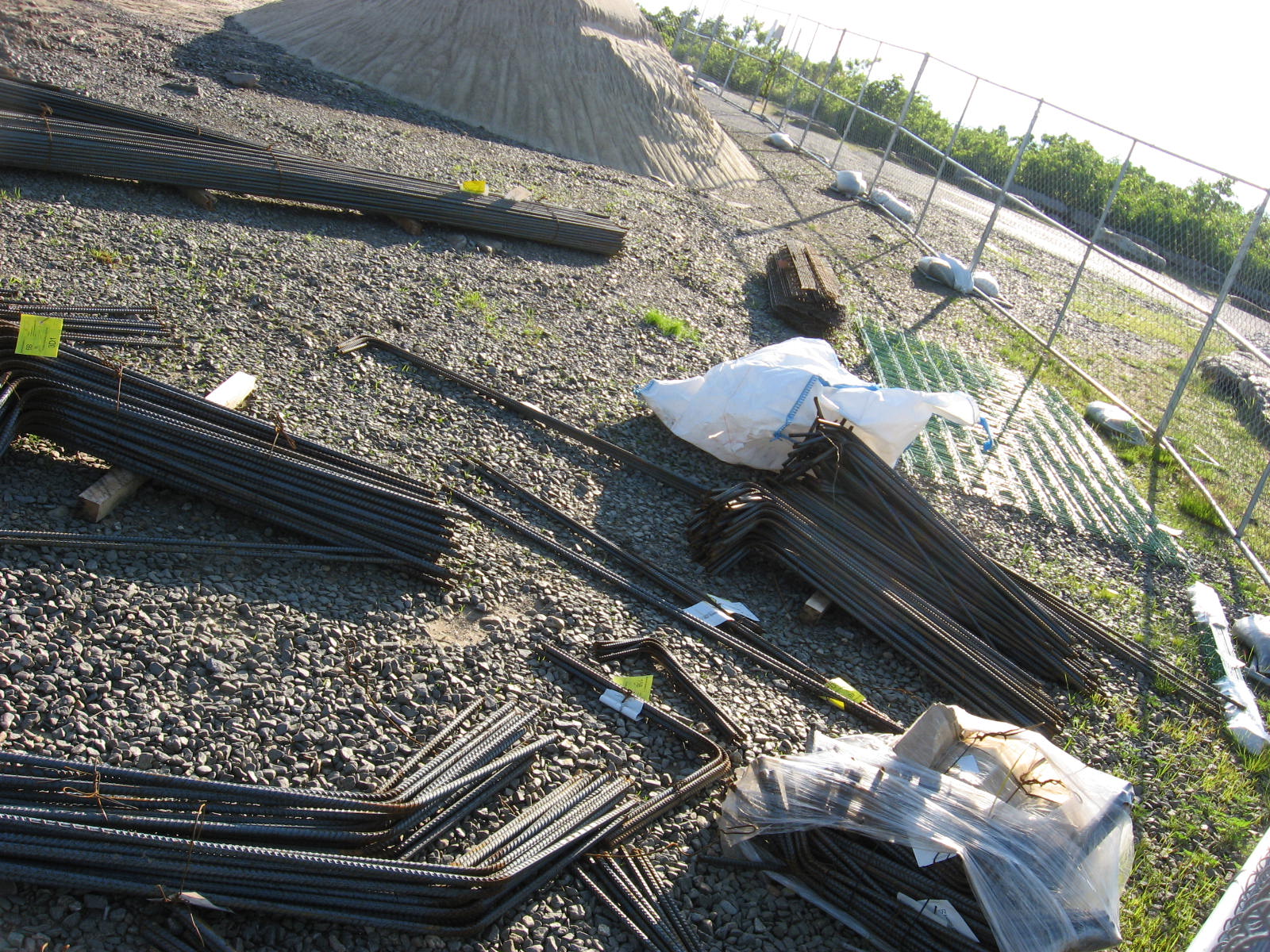
On this site, I will try to capture the progress of construction.  From these earlier pictures, you can see that construction waits for better conditions.  Take a good look; it will never be the same.  But on the other hand, I believe Thoreau would like the new look.  As he wrote, "Wachusett is, in fact, the observatory of the State. There lay Massachusetts, spread out before us in its length and breadth, like a map." [from "A Walk to Wachusett," as Thoreau wrote from Charles Theodore Russell's, book A History of Princeton.]

View East toward Boston From Approximate Site of the New Tower
Take a good look ... it won't be this way tomorrow!!


You can view the construction project on the website of the Mass Dept of Conservation and Recreation.

http://www.mass.gov/dcr/news/publicmeetings/materials/parklands/wachusettpresentation2010-5-13.pdf